

| Weather Conditions in Puerto Rico |
|---|
National Hurricane Center Products
|
Other Products |
Share in Facebook
Â
UTC (Z) to Local Time (LT) Conversion
Atlantic Hurricane Season runs from June 1- November 30 Storm categories by wind speed: |
|---|


Atlantic Hurricane Season 2017 Storm Names
| Arlene | Bret | Cindy | Don | Emily | Franklin | Gert | Harvey | Irma | Jose | Katia | Lee | Maria | Nate | Ophelia | Philippe | Rina | Sean | Tammy | Vince | Whitney |

Click on the county or coastal water zone of interest to get the latest forecast from the National Weather Service.
MARIA


Advisory Information Unavailable, error fetching or reading data from the NOAA advisories server.
NEXLAB Experimental Satellite- Infrared Imagery (NOAA GOES 16)

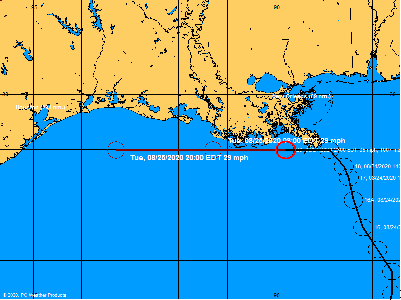
OFFICIAL TRACK
![]()


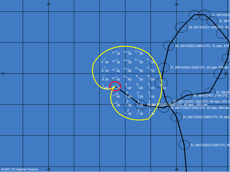
Forecast Wind Bands

Courtesy of: ![]()
National Hurricane Center Forecast Advisory
National Hurricane Center Forecast Advisory
National Hurricane Center Discussion
Forecasting Models

Caribbean Sea

Local Radar

Tropical Weather Outlook


Satellite Imagery

Select a map type to view:
Atlantic Wide View (Click Image for Loop)
Global Tropics Hazards and Benefits Outlook (Click image for more details)
Saharan Air Layer

Wind Shear Tendency
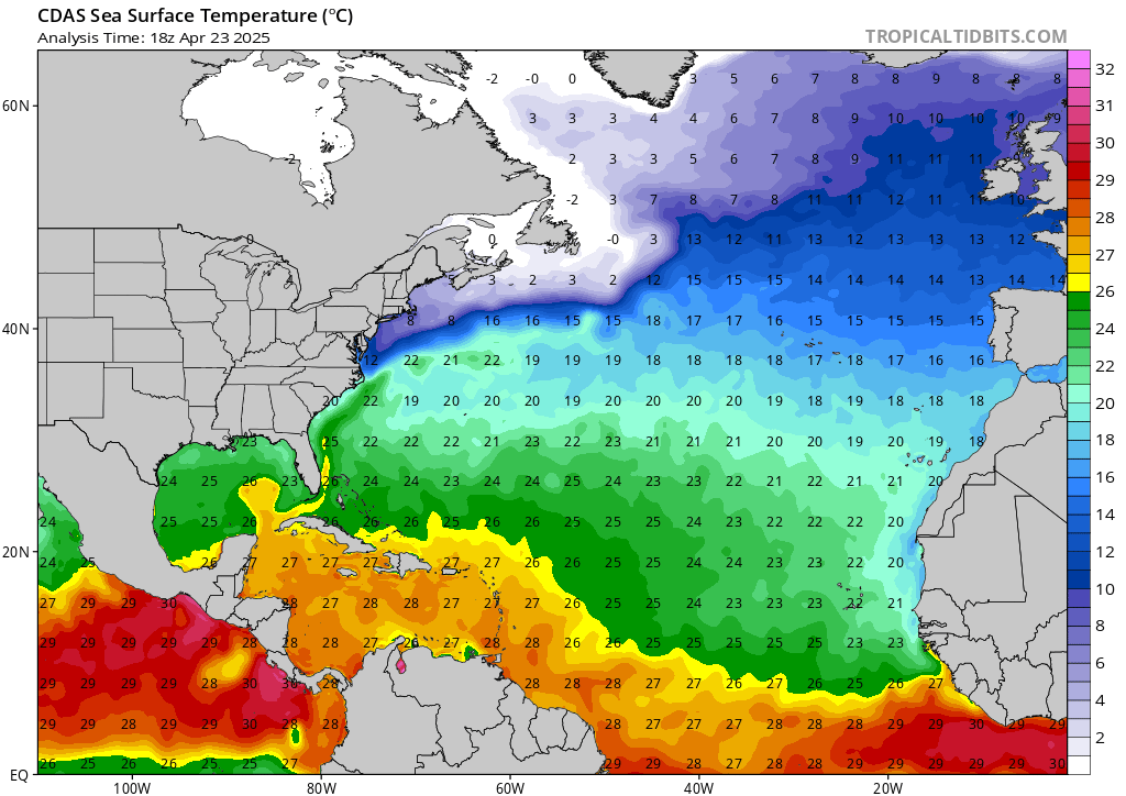
Sea Surface Temperatures

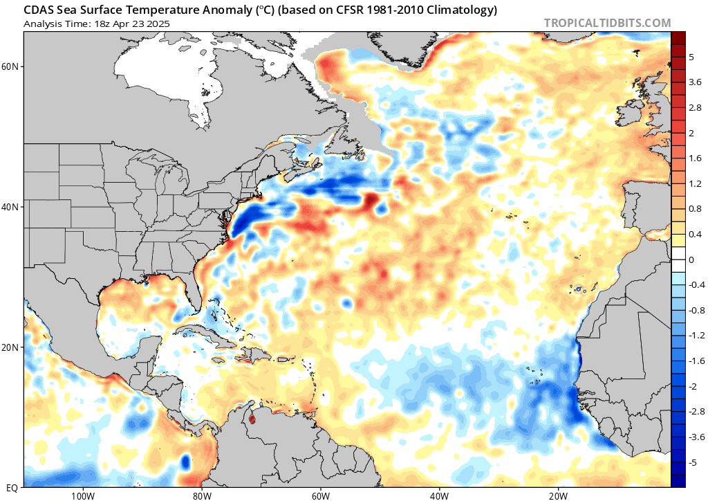
Sea Surface Temperatures Anomalies
Contact © 2017, WeatherPR.com


