Issued by: National Weather Service San Juan, PR
Updated: 3:59 pm AST Jul 25, 2026


| This Afternoon | Isolated showers. Mostly sunny, with a high near 88. East wind around 16 mph, with gusts as high as 21 mph. Chance of precipitation is 20%. |
| Tonight | Scattered showers, mainly after midnight. Mostly cloudy, with a low around 79. East wind 9 to 11 mph. Chance of precipitation is 50%. |
| Sunday | Scattered showers. Partly sunny, with a high near 88. Heat index values as high as 102. East wind 11 to 17 mph, with gusts as high as 22 mph. Chance of precipitation is 50%. New precipitation amounts between a quarter and half of an inch possible. |
| Sunday Night | Scattered showers, mainly after 3am. Partly cloudy, with a low around 78. East wind 7 to 9 mph. Chance of precipitation is 40%. |
| Monday | Scattered showers, mainly after noon. Mostly sunny, with a high near 90. East wind 7 to 17 mph. Chance of precipitation is 40%. |
| Monday Night | Isolated showers. Partly cloudy, with a low around 79. East southeast wind 6 to 9 mph. Chance of precipitation is 20%. |
| Tuesday | Scattered showers, mainly after noon. Mostly sunny, with a high near 91. East wind 9 to 14 mph increasing to 15 to 20 mph in the afternoon. Chance of precipitation is 30%. |
| Tuesday Night | Partly cloudy, with a low around 79. East wind 8 to 10 mph. |
| Wednesday | Scattered showers. Partly sunny, with a high near 89. East wind 11 to 21 mph, with gusts as high as 26 mph. Chance of precipitation is 40%. |
| Wednesday Night | Mostly clear, with a low around 80. |
| Thursday | Mostly sunny, with a high near 90. |
| Thursday Night | Clear, with a low around 80. |
| Friday | Mostly sunny, with a high near 89. |
| Friday Night | Partly cloudy, with a low around 79. |
| Saturday | Sunny, with a high near 90. |
453
FXCA62 TJSJ 251838
AFDSJU
Area Forecast Discussion
National Weather Service San Juan PR
238 PM AST Sat Jul 25 2026
...New SHORT TERM, LONG TERM, AVIATION, MARINE, BEACH FORECAST...
.KEY MESSAGES...
Updated at 234 PM AST Sat Jul 25 2026
* A wind surge ahead of an approaching tropical wave will continue
to promote passing showers and breezy trade winds for the rest of
today; local and diurnal effects are resulting in showers and t-
storms over Puerto Rico.
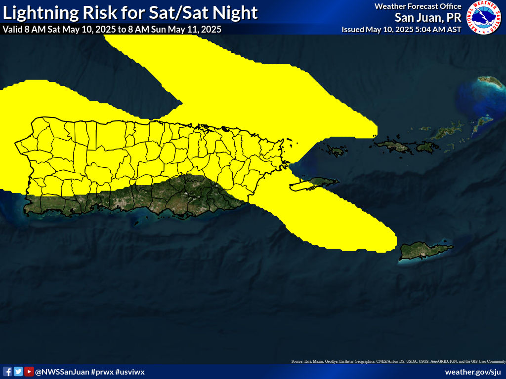
* Shower and t-storm activity will increase late tomorrow into
Monday as the arriving tropical wave interacts with an upper-level
low, elevating the threat for urban and small stream flooding, as
well as sustaining the potential for lightning and strong gusty
winds.
* A Heat Advisory continues through 4 PM AST across urban and
coastal areas of Puerto Rico as various areas without shower
activity are reporting heat indices at or above 108 degrees.
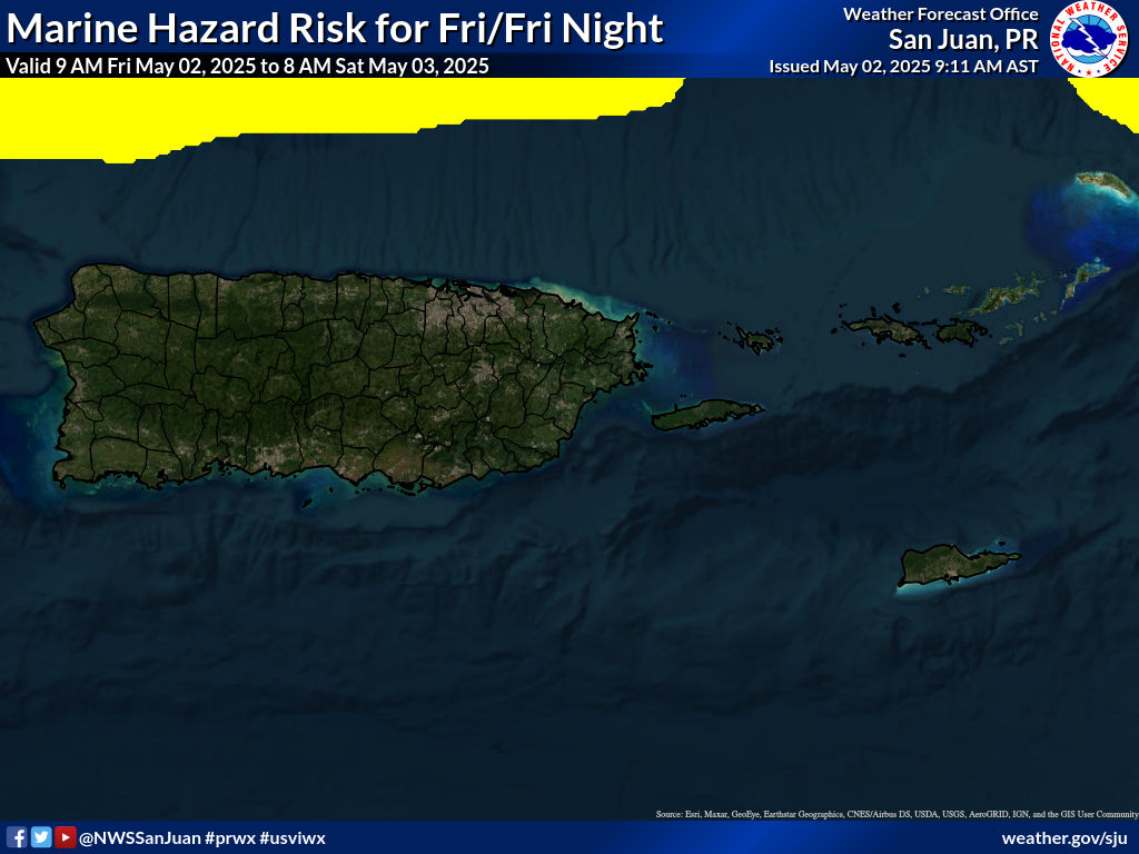
* Moderate to locally fresh easterly winds will continue through the
weekend, producing choppy seas and hazardous conditions for small
craft across portions of the local waters.
* Up to a moderate risk of rip currents will continue this weekend
across the local beaches.
&&
.Short Term(This evening through Monday)...
Issued at 234 PM AST Sat Jul 25 2026
Variable weather conditions prevailed today, starting with some
showers in the morning that were followed by cloudiness developing
across the interior sections. Heat indices and temperatures
climbed pretty quickly across the islands during the day,
increasing up to 110 degrees across the north-central sections and
southwestern coastal areas of the island. As a result, a Heat
Advisory was issued for all coastal areas of Puerto Rico,
including the Caguas vicinity, which remained in effect until 4
PM. Afternoon shower activity developed over the interior from
Adjuntas to Mayaguez, while showers were also observed along the
Fajardo area. Some strong thunderstorms were detected by the GOES
across western interior sections, enhancing winds in excess of 25
mph according to radar velocity signals. By 2 PM, rainfall
accumulations remained under one inch across the western interior, where
the showers were most intense. Winds persisted from the east at
15 mph or less, with gusty conditions reported across the area and
especially along coastal sections.
For the rest of the afternoon into the evening hours, weather
conditions will remain variable under an easterly wind flow
driven by surface high pressure across the Central Atlantic
extending into the Caribbean area. Under this pattern, moisture
will continue to linger with precipitable water values ranging
between 1.5 and 1.7 inches. These conditions will remain suitable
for persisting showers along interior sections as well as warm
conditions across the islands. As the day progresses, temperatures
are forecast to gradually decrease, settling in the low 80s
across the San Juan metro area and in the mid-70s across the
mountain sections, while winds remain from the east at 10 mph or
less. At the mid-to-upper levels, stable conditions will persist
across the region due to a strong mid-level ridge located north of
the area and the unfavorable side of an upper-level low moving
southward into the region.
By Sunday, the surface high pressure across the Central Atlantic
will maintain easterly winds during the first part of the day
while a much drier air mass builds over the area. Unlike previous
days, global weather models indicate that the moisture associated
with the next tropical wave has been delayed, now expected to
reach the region early Monday morning. This wave has a positive
tilt; therefore, the axis of the wave is expected to cross the
islands early on Monday, with the main moisture field following
shortly after, increasing showers and cloudiness. At the same
time, an upper-level cut-off low will dig into the area late
Sunday into Monday, positioning its divergent and highly favorable
southeastern quadrant directly over the local islands. The
combination of these upper-level dynamics and the positively
tilted wave will significantly enhance shower and thunderstorm
potential starting Monday, beginning across the U.S. Virgin
Islands where an increase in both shower frequency and intensity
is expected.
&&
.Long Term(Tuesday through next Friday)...
Issued at 234 PM AST Sat Jul 25 2026
The latest model guidance continues to suggest above-normal
precipitable water (PWAT) values exceeding 2.00 inches by the
beginning of the long-term period, as moisture associated with a
passing tropical wave continues to linger across the area. At the
upper levels, an upper-level low will begin to migrate northwestward
away from the region, providing some stability aloft that will be
reflected in rising heights and warmer mid-level temperatures (at
500 mb). At the surface, a high-pressure system will continue to
strengthen, resulting in breezy to locally windy east-southeasterly
winds across the area.
Under this scenario, moisture content will remain above average and
when combined with local effects and diurnal heating, will likely
support fast moving showers during the morning hour across the
windward areas of the islands, followed by afternoon convection
across the interior and western portions of Puerto Rico. During this
period, ponding of water on roads and in poorly drained areas is
possible.
From Wednesday onwards, a drier airmass will filter into the region,
dropping PWAT values below normal to around 1.30 inches. This drier
airmass will be accompanied by low concentrations of Saharan dust
through at least Saturday. Despite the expected drier pattern,
patches of moisture embedded in the trade winds will continue to
reach the region, bringing fast-moving, passing showers across
portions of Puerto Rico and the U.S. Virgin Islands with minimal to
no impacts. Normal to above-normal temperatures will persist across
the area, with daytime highs remaining between the upper 80s and low
90s in coastal and urban locations. Residents and visitors are
encouraged to stay hydrated and monitor local weather updates.
&&
.AVIATION...
(18Z TAFS)
Issued at 234 PM AST Sat Jul 25 2026
VFR conditions prevail. Easterly winds at 1015 kts with gusts up
to 18 kts will diminish after 25/23Z, then pick up again from the
east around 26/14Z. Afternoon SHRA/TSRA across western PR will
continue to affect the vicinity of Mayaguez and TJBQ through
25/23Z, bringing brief MVFR/IFR conditions and mountain
obscurations. For Sunday, VCSH/SHRA is forecast for TIST and TISX
between 26/14Z and 26/18Z as low-level moisture increases ahead of
an approaching tropical wave.
&&
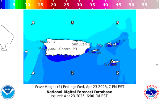
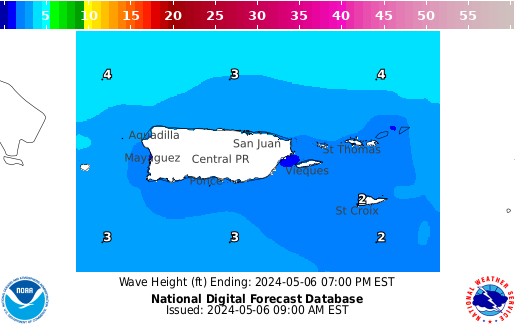
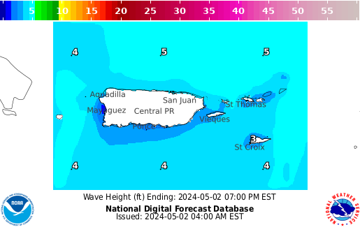
.MARINE...
Issued at 234 PM AST Sat Jul 25 2026
Moderate to locally fresh easterly winds will continue through the
weekend, causing choppy seas and hazardous conditions for small
craft across portions of the local waters. An improvement in seas is
anticipated early next workweek as winds decrease. However, an
approaching tropical wave will cause scattered showers and isolated
thunderstorms to increase late tomorrow, Sunday into Monday. Saharan
dust is expected to gradually diminish, though low to locally
moderate concentrations will persist into early next week.
&&
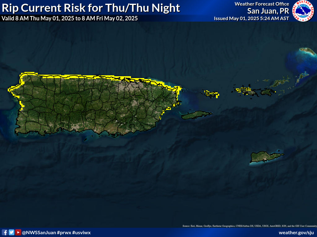
.BEACH FORECAST...
Issued at 234 PM AST Sat Jul 25 2026
Through the remainder of the weekend, beaches across northern and
eastern Puerto Rico, St. Croix, Culebra, and Vieques will continue
to experience a moderate risk of rip currents (life-threatening rip
currents are possible in the surf zone). While beach conditions are
projected to improve somewhat by midweek due to a gradual decrease
in winds early next workweek, another increase in the rip current
risk is anticipated later in the workweek due to strengthening
easterly winds. Even in areas where the risk of rip currents is low,
life-threatening rip currents often occur in the vicinity of groins,
jetties, reefs, and piers. Additionally, those visiting the beach
should stay alert for heat and thunderstorms.
&&
.SJU WATCHES/WARNINGS/ADVISORIES...
PR...Heat Advisory until 4 PM AST this afternoon for PRZ001>005-007-
008-010-011.
VI...None.
AM...None.
&&
$$
SHORT TERM & AVIATION...LIS
LONG TERM....GRS
MARINE, BEACH FORECAST & KEY MESSAGES...LIS