Hurricane Season runs from June 1-November 30


[10/10]


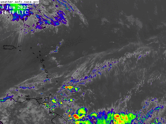
897
FXCA62 TJSJ 231754
AFDSJU

Area Forecast Discussion
National Weather Service San Juan PR
154 PM AST Sun Nov 23 2025

.KEY MESSAGES...
Issued at 136 PM AST Sun Nov 23 2025

* Stable weather conditions will remain for Puerto Rico and the
  U.S. Virgin Islands.

* Across the US Virgin Island and northeastern Puerto Rico
  sections some isolated showers during the nights and mornings
  from to night into Tuesday.

* A breezier pattern is expected by midweek, which will enhance
  occasional trade-wind showers and bring a moderate to high chance
  of deteriorating marine and coastal conditions.

* Low risk of rip currents today and Monday, increasing to
  moderate on Tuesday.

&&

.Short Term(This evening through Tuesday)...
Issued at 136 PM AST Sun Nov 23 2025

Really stable weather conditions prevailed across the islands
during the morning hours, with mostly clear skies. A few clouds
were observed during the late morning across eastern sections of
Puerto Rico and the U.S. Virgin Islands, with little to no
rainfall activity. At 1 PM, some brief short-live  showers were
observed across eastern sections of Puerto Rico. Temperatures
reached the low to mid-80s across coastal areas, with plenty of
sunshine and even fresher air across the mountainous regions.

Stable weather conditions will persist across the islands as the
mid-level ridge becomes established over the forecast area and a
zonal flow continues at the upper levels. The mid level ridge will
continue to result in warmer temperatures at 500 MB. At the lower
levels, a surface high- pressure system over the western tropical
Atlantic extending into the Caribbean will maintain a moderate
east- northeast wind flow through the next few days. From late
Monday into Tuesday, as the surface high pressure settled across
the islands, some pulses of moisture with PWAT values between 1.2
and 1.3 inches (which remain below climatological normals) reached
the area, resulting in an advective pattern that produced showers
along the northeastern coastal areas.

Given the expected conditions, a seasonable weather pattern will
dominate the forecast cycle with limited afternoon shower
development. High temperatures will continue to range from the
mid-80s to around 90F across the lower elevations, while
nighttime lows in the higher terrain may drop into the mid-50s
under clearer skies.

&&

.Long Term(Wednesday through next Saturday)...
From previous discussion issued at 441 AM AST Sun Nov 23 2025

The long-term period will feature patches of moisture embedded
within the trade winds, bringing a moderate chance of occasional
showery weather and breezy conditions. By midweek, a surface high-
pressure system will be located over the central Atlantic. Aloft,
an upper-level trough will shift eastward, allowing ridging to
build into the region. PWAT guidance indicates values remaining
within the normal to below-normal range through the period, based
on November climatology.

Windward areas of Puerto Rico and the U.S. Virgin Islands can
expect pleasant a low to moderate chance of passing showers
throughout the week. There will also be a slight to moderate
chance of afternoon showers each day across the interior and
western portions of Puerto Rico.

By the weekend, another high-pressure system building over the
western Atlantic will further tighten the pressure gradient,
resulting in even breezier conditions. A gradual increase in PWAT
values may lead to higher rain chances, although flooding impacts
are not anticipated.

Model guidance suggests that 925-mb temperatures will remain in
the normal to below-normal range for this time of year, supporting
a continued transition toward more pleasant temperatures.

&&

.AVIATION...
(18Z TAFS)
Issued at 136 PM AST Sun Nov 23 2025

Mainly VFR will persist during the period across all TAF sites.
Winds will remain from the E-NE at 15 knots with gusty winds,
diminishing at 23/23Z becoming more VRB increasing once again at
24/13Z. Some VCSH are forecast along TJSJ and TIST during the
period.

&&

.MARINE...
Issued at 136 PM AST Sun Nov 23 2025

High pressure over the western Atlantic, along with a surface
trough across the central Atlantic, will maintain gentle to
moderate east to northeast winds today. Another high-pressure
system will then build over the western Atlantic and move into the
central Atlantic from early week through Thursday. This will
tighten the pressure gradient once again, supporting moderate to
fresh trade winds and choppy seas from Tuesday onward. As a
result, expect confused seas due to the combination of locally
choppy conditions and a long-period northeasterly swell arriving
between Tuesday and Wednesday. Small craft operators will likely
need to exercise caution during that period.

&&

.BEACH FORECAST...
Issued at 136 PM AST Sun Nov 23 2025

There is a low risk of rip currents for the rest of the night.
Beach conditions will remain suitable for beachgoers through
Monday. On Tuesday, the risk will increase to moderate along the
northern exposed beaches. Conditions will continue to deteriorate
through midweek. By Friday, the risk of rip currents will become
high.

&&

.SJU WATCHES/WARNINGS/ADVISORIES...
PR...None.
VI...None.
AM...None.
&&

$$

LIS/MMC